
Total housing units by ZIP code
An interactive U.S. map of total housing units for states, metro areas, counties and ZIP codes. Latest data: 2020–24. PLUS
Open total housing units on the map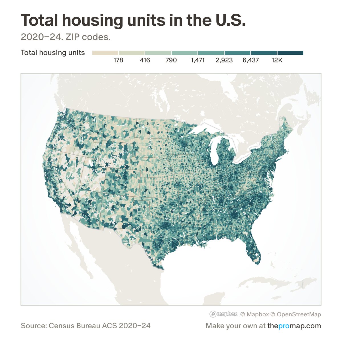
What this measure is
The number of homes, occupied or vacant, or homes per 1,000 residents. States, counties and metros use Census Bureau estimates for July 1, built from building permits with an assumed delay to completion and estimated demolitions, not counted completions; ZIP codes and smaller areas use the five-year American Community Survey. A change across 2020 or 2010 mixes two estimating methods.
Source, dates and coverage
- Source
- Census Bureau housing unit estimates; Census Bureau American Community Survey for ZIP codes and smaller areas.
- Updated
- Once a year. Latest data on the map: 2020–24.
- Areas on the map
- States, metro areas, counties and ZIP codes.
- Group
- Housing supply
- Access
- ProMap Plus ($19 a month or $190 a year).
Values for every place
Total housing units is a ProMap Plus measure. The map shows it for the areas listed above. This page shows the map's national picture, the method and the source, and no figures.
ProMap Plus costs $19 a month or $190 a year. A free 7-day trial is offered on the map.
See total housing units in ProMap PlusHow to cite
Please also credit the original source: Census Bureau housing unit estimates; Census Bureau American Community Survey for ZIP codes and smaller areas.