
Work from home by ZIP code
An interactive U.S. map of work from home for states, metro areas, counties, ZIP codes, census tracts and census block groups. Latest data: 2020–24. PLUS
Open work from home on the map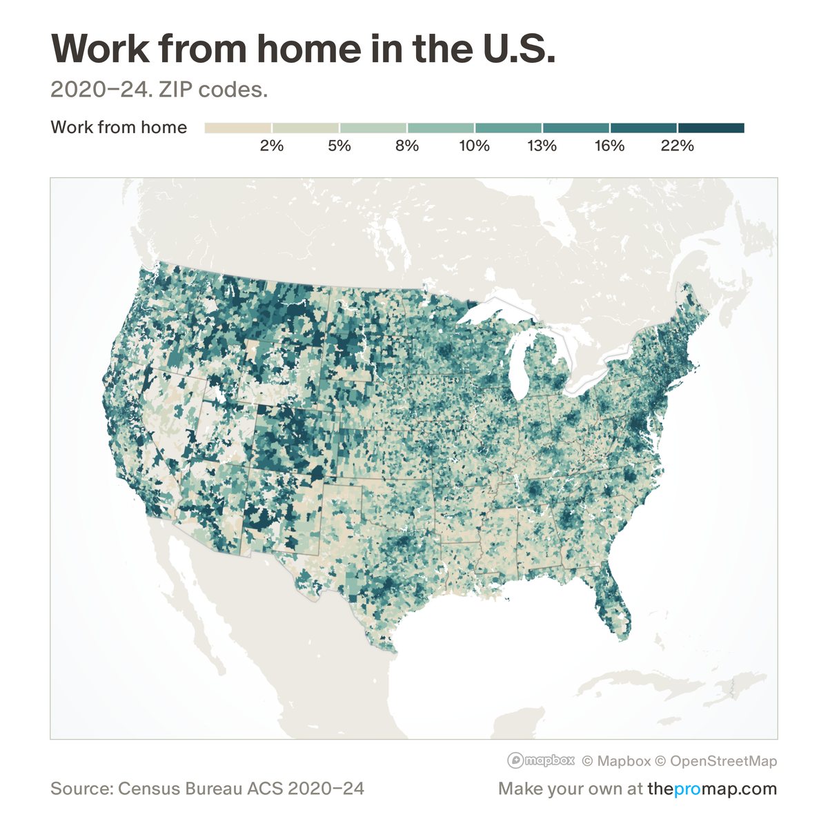
What this measure is
The share of workers aged 16 and over who say they usually worked from home. It is a Census Bureau survey estimate pooled over five years; in census tracts and block groups, white stripes over the colour mark low reliability: a wide margin of error.
Source, dates and coverage
- Source
- Census Bureau American Community Survey.
- Updated
- Once a year, when the Census Bureau releases a new five-year survey. Latest data on the map: 2020–24.
- Areas on the map
- States, metro areas, counties, ZIP codes, census tracts and census block groups.
- Group
- Housing stock & commute
- Access
- ProMap Plus ($19 a month or $190 a year).
Values for every place
Work from home is a ProMap Plus measure. The map shows it for the areas listed above. This page shows the map's national picture, the method and the source, and no figures.
ProMap Plus costs $19 a month or $190 a year. A free 7-day trial is offered on the map.
See work from home in ProMap PlusHow to cite
Home Economics (Aziz Sunderji), ProMap, “Work from home”, https://homeeconomics.us/promap/measure/work-from-home, accessed 15 November 2026.
Please also credit the original source: Census Bureau American Community Survey.