
Pedestrian death rate: change by ZIP code
An interactive U.S. map of pedestrian death rate: change for states, metro areas, counties and ZIP codes. Latest data: 2020–24 vs 2015–19. PLUS
Open pedestrian death rate: change on the map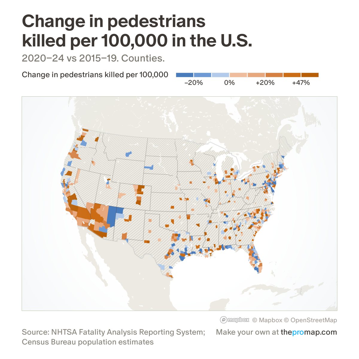
What this measure is
The change in pedestrians killed per 100,000 residents per year between two periods you choose under the colour scale (2020–24 against 2015–19 to start), in per cent. Per cent is used because rates differ about tenfold between big-city and rural counties, so in points the rural counties would show the largest moves almost by default. Areas with fewer than 10 pedestrian deaths in either period, or whose boundaries changed within those years, have no figure.
Source, dates and coverage
- Source
- National Highway Traffic Safety Administration, Fatality Analysis Reporting System; Census Bureau population estimates.
- Updated
- Crash records from 1975 to 2024 (ZIP codes from 2001). The 2024 figures become final in early 2027. Latest data on the map: 2020–24 vs 2015–19.
- Areas on the map
- States, metro areas, counties and ZIP codes.
- Group
- Safety
- Access
- ProMap Plus ($19 a month or $190 a year).
Values for every place
Pedestrian death rate: change is a ProMap Plus measure. The map shows it for the areas listed above. This page shows the map's national picture, the method and the source, and no figures.
ProMap Plus costs $19 a month or $190 a year. A free 7-day trial is offered on the map.
See pedestrian death rate: change in ProMap PlusHow to cite
Please also credit the original source: National Highway Traffic Safety Administration, Fatality Analysis Reporting System; Census Bureau population estimates.
More safety measures
- Violent crime per 1,000 residents and workers
- Property crime per 1,000 residents and workers
- Violent crime per 1,000 residents
- Property crime per 1,000 residents
- Violent crime, change 2019 to 2025
- Property crime, change 2019 to 2025
- Fatal crashes per 100,000 residents
- Pedestrians killed per 100,000 residents
- Fatal crash rate: change
- Fatal crashes (dots)