
Pharmacies nearby by ZIP code
An interactive U.S. map of pharmacies nearby for states, metro areas, counties and ZIP codes. Latest data: 2026. PLUS
Open pharmacies nearby on the map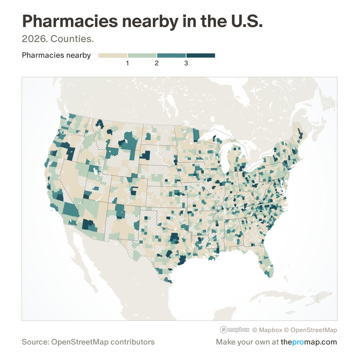
What this measure is
The number of pharmacies mapped in OpenStreetMap inside each ZIP code. Counties, metros and states show the typical resident's ZIP: a population-weighted average of their ZIP codes. The count is not adjusted for the size of the ZIP code. OpenStreetMap is mapped by volunteers, so coverage varies, and only places mapped as points are counted, which misses some mapped as building outlines.
Source, dates and coverage
- Source
- OpenStreetMap contributors; Home Economics calculation.
- Updated
- Rebuilt once a year from a new OpenStreetMap download. Latest data on the map: 2026.
- Areas on the map
- States, metro areas, counties and ZIP codes.
- Group
- Amenities & transit
- Access
- ProMap Plus ($19 a month or $190 a year).
Values for every place
Pharmacies nearby is a ProMap Plus measure. The map shows it for the areas listed above. This page shows the map's national picture, the method and the source, and no figures.
ProMap Plus costs $19 a month or $190 a year. A free 7-day trial is offered on the map.
See pharmacies nearby in ProMap PlusHow to cite
Please also credit the original source: OpenStreetMap contributors; Home Economics calculation.