
Turnout so far, 2026 by county
An interactive U.S. map of turnout so far, 2026 for states, metro areas and counties. Latest data: 2026. PLUS
Open turnout so far, 2026 on the map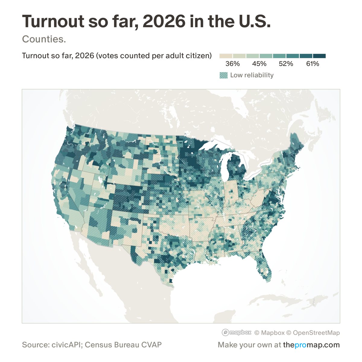
What this measure is
Votes counted so far in the area's top race (whichever of House, Senate and governor has the most votes), divided by US citizens aged 18 and over, the Census Bureau's survey estimate for 2020–24. It will rise as counting goes on, most in states that count slowly. These are unofficial results, and certified results can differ. White stripes over the colour mark low reliability: under 95% of precincts reporting.
Source, dates and coverage
- Source
- civicAPI (civicapi.org), unofficial results; Census Bureau citizen voting-age population (American Community Survey 2020–24).
- Updated
- Refreshed while votes are being counted; the legend gives the time of the latest count. Latest data on the map: 2026.
- Areas on the map
- States, metro areas and counties.
- Group
- Politics
- Access
- ProMap Plus ($19 a month or $190 a year).
Values for every place
Turnout so far, 2026 is a ProMap Plus measure. The map shows it for the areas listed above. This page shows the map's national picture, the method and the source, and no figures.
ProMap Plus costs $19 a month or $190 a year. A free 7-day trial is offered on the map.
See turnout so far, 2026 in ProMap PlusHow to cite
Please also credit the original source: civicAPI (civicapi.org), unofficial results; Census Bureau citizen voting-age population (American Community Survey 2020–24).