
Natural hazard risk score by ZIP code
An interactive U.S. map of natural hazard risk score for states, metro areas, counties, ZIP codes and census tracts. Latest data: 2025. PLUS
Open natural hazard risk score on the map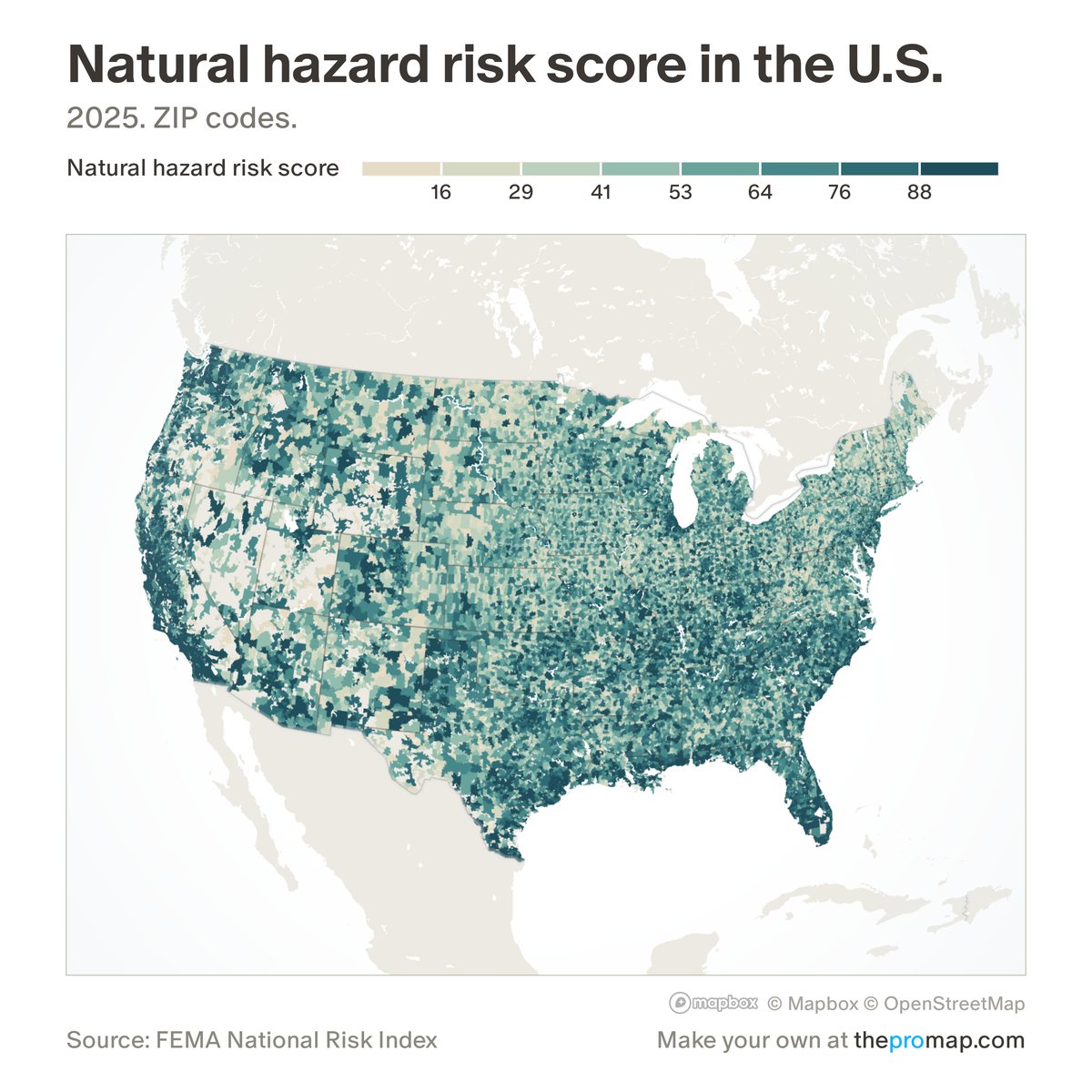
What this measure is
FEMA's score for how much an area stands to lose each year from 18 natural hazards, to buildings, people and farming, raised where social vulnerability is high and lowered where communities are more resilient. It is a national percentile from 0 to 100: a county is compared with every US county and a census tract with every tract. FEMA scores only counties and tracts, so states, metros and ZIP codes add up their parts' risk values and are ranked among areas of the same kind, which means larger places tend to score higher.
Source, dates and coverage
- Source
- FEMA National Risk Index; ZIP codes, metros and states added up by Home Economics.
- Updated
- When FEMA releases a new version of the index. Latest data on the map: 2025.
- Areas on the map
- States, metro areas, counties, ZIP codes and census tracts.
- Group
- Climate & hazard risk
- Access
- ProMap Plus ($19 a month or $190 a year).
Values for every place
Natural hazard risk score is a ProMap Plus measure. The map shows it for the areas listed above. This page shows the map's national picture, the method and the source, and no figures.
ProMap Plus costs $19 a month or $190 a year. A free 7-day trial is offered on the map.
See natural hazard risk score in ProMap PlusHow to cite
Please also credit the original source: FEMA National Risk Index; ZIP codes, metros and states added up by Home Economics.